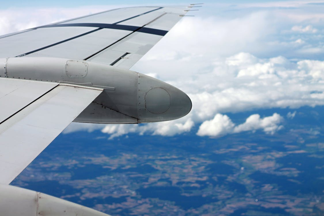
Now the advent of modern navigation technologies has made things easier for pilots looking to find their way from above. Learn all about them once again in 1-day, 3-day, and 5-day aircraft simulator training classes. Momentum Flight Training is offered exclusively to make the transition smoother for aspiring regional airline pilots.
How Pilots Initially Found Their Way From Above
Without radio aids and GPS, pilots used to find their way in the skies as people did on the ground, using a compass and looking for natural landmarks such as lakes, hills, towns, and even church steeples.
Known as pilotage, the practice forced the pilots to take their eyes off the cockpit instruments as well as the horizon. Using these methods as the sole navigation source wasn't trustworthy, safe, or consistent. Pilots often drifted away from the route.
And flying longer distances was problematic and stressful even if the weather was slightly inadequate, limiting aviation experiences. Pilots needed to avoid flying through certain cloud formations and were responsible for maintaining a certain distance from other aviators.
When aviation advanced, pilots relied on dead reckoning because of the navigation aids that came into existence. The navigation technique demands a lot of preparation because pilots need to be familiar with all the ground markers but also aware of how much time it takes to fly from one point to another to match the landmark with a map.
Pilots had to know proper calculations involving wind direction, wind speed, airspeed, and other factors. A manual flight planning log was critical in the cockpit without compromising other basic aviation tasks that are now assisted by computers.
Modern Navigation Technologies At the Disposal of Pilots
Radio and IFR
The rapid deployment of radio navigation enabled pilots to fly not only more safely and efficiently in suitable weather but also in adverse conditions. Radio navigation allows navigation through instrument flight rules, once known as 'blind flying.' Pilots must obtain an instrument rating from the FAA to operate an aircraft under IFR.
VOR
The radio-based VOR systems can find the VHR omnidirectional frequencies that general consumer tuners, car antennas, and transistor radios cannot detect. VOR involves two signals located at ground level.
One is located directionally, while the other sweeps in a circle. The station at which the VOR systems are set up emits 360 radials which onboard aircraft equipment catches to identify which radial plane they're presently on, navigating from or to the station.
Sometimes VOR stations are coupled with DME (Distance Measuring Equipment) that allows aviator systems to interpret how far they're from the station on top of knowing their position relevant to the station.
However, VOR isn't as easy to use or accurate as GPS because it doesn't involve satellite information. Although pilots rely on VOR, most use them as a GPS backup.

NDB and ADF
Non-directional beacon (NDF) and automatic direction finder (ADF) were among the first navigation systems available to pilots. The NDB sends a signal to the antenna located within the airplane.
ADF, an instrument found in the cockpit, shows the aviator's location in relation to the beacon. The information helps pilots direct the plane to the source of the signal. They then tune in to the next beacon on the route, and the process is repeated until it's time for landing.
That's where the Instrument Landing System (ILS) comes into play. Pilots are given a safe descent path, or glideslope, using radio signals they can follow down to the runways. Although the NDB/AFB procedure is more efficient and reliable than visually attempting to navigate in the skies, the signal isn't always trustworthy.
Sometimes there can be interference when flying at sunset, sunrise, or thunderstorm conditions. Mountainous terrains also sometimes produce erroneous signals. The possibility of bank error is also worrisome because the aviator's antenna can also produce inaccurate readings while in a bank run.
GPS and DME
Distance Measuring Equipment uses a transponder. The aviator's equipment receives the signal broadcasted on ultra-high frequency. These signals help pilots determine distance. The information displayed on the transponder in the form of tenths of a nautical mile helps pilots plot the plane's path. DME equipment can sometimes be paired with VOR stations.
Global Positioning System, popularly known as GPS, was once available as a separate navigation aid. However, now most aviators are equipped with a GPS as part of the glass cockpit design.
While not completely infallible, GPS is typically more accurate and not subject to antenna errors, atmospheric interference, or natural features that sometimes hinder accurate signals.
3D and operative in real-time, global positioning systems depend on satellites to locate aviators and guide them along their flight path. They sometimes provide 2D reckoning with inputs from at least three satellites. The navigational fix isn't only useful directionally but also for calculating precise position and speed.
Think you could benefit from a refresher of everything you start training to be a first officer for an established regional airline? Join our advanced crj550 flight simulator training programs targeted at improving the skills and proficiency of aspiring regional pilots.
When pilots join one of our three Airline Transition Training programs, they get to familiarize themselves with the aircraft; they'll be flying as first officers in the regional airlines, making it easier for them to comprehend mechanisms and navigate diverse flight situations confidently.
The combination of our in-class lectures and sessions in simulators that replicate the systems in the Canadair Regional Jet 550, 700, and 900 enables pilots to experience flying regional aircraft in different environments.
Speak to a qualified instructor for tailored programs aimed at helping commercial pilots move upward and beyond to regional airlines.